.png)
Transforming Cities for a Resilient Future with Speed, High Resolution & Integrity
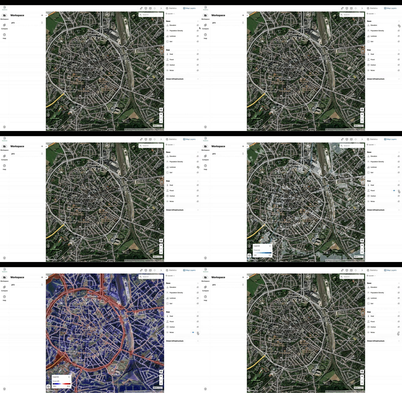
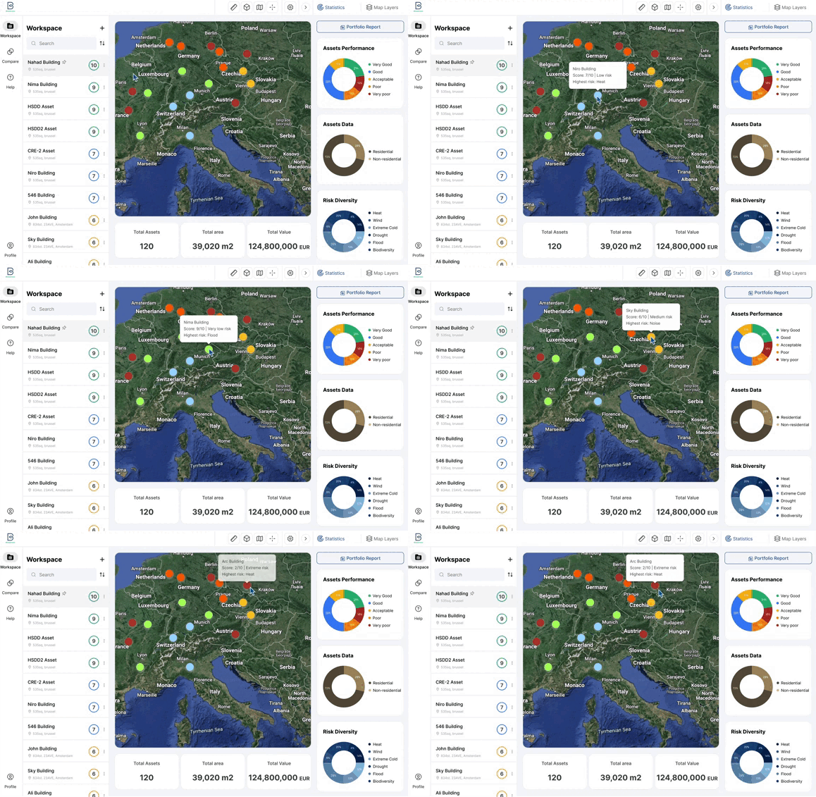
Our platform allows users to access climate-related data, create simulations, and identify strategies to mitigate risk and maximize opportunity. With a combination of interactive maps and powerful analytics, BitaGreen is the perfect tool for anyone looking to stay ahead of the curve on climate adaptation.
The uniqueness of our solution as a social enterprise debuting on the market are:
-
The tool enables cities to produce high-resolution green infrastructure maps at a low cost.
-
The tool assesses the co-benefits of different urban plan scenarios under climate change and has a cost-benefit assessment tool that can be used to structure blended investments.
-
Through a user-friendly viewer, the tool can help to raise public awareness of the aggregated benefits when scaling up green infrastructures.


Our Technology

Robust Predictions
We combine innovative environmental modeling and AI-derived predictions to identify the high-risk areas and where in the city it is worth investing in green infrastructure and visualize this on an interactive web-based platform.

Proprietary ML & AI
A combination of remote sensing and deep machine learning allows monitoring the sustainability of urban plans through high-resolution mapping of vegetation health and land surface temperature of implemented green infrastructure at different scales.

Customizable Monitoring Platform
The tool is accompanied by a modular and customizable crowdsourcing platform capable of coupling with mobile apps that ease the green infrastructure's monitoring for city planners/homeowners.

Cutting-edge Cost-Benefit assessment
BitaGreen can help you find the most suitable approach for your needs. The spatially distributed cost-benefit assessment for different scenarios can be translated into tailored GI plans through discussions with (public and private) investors, end-users, and the general public.